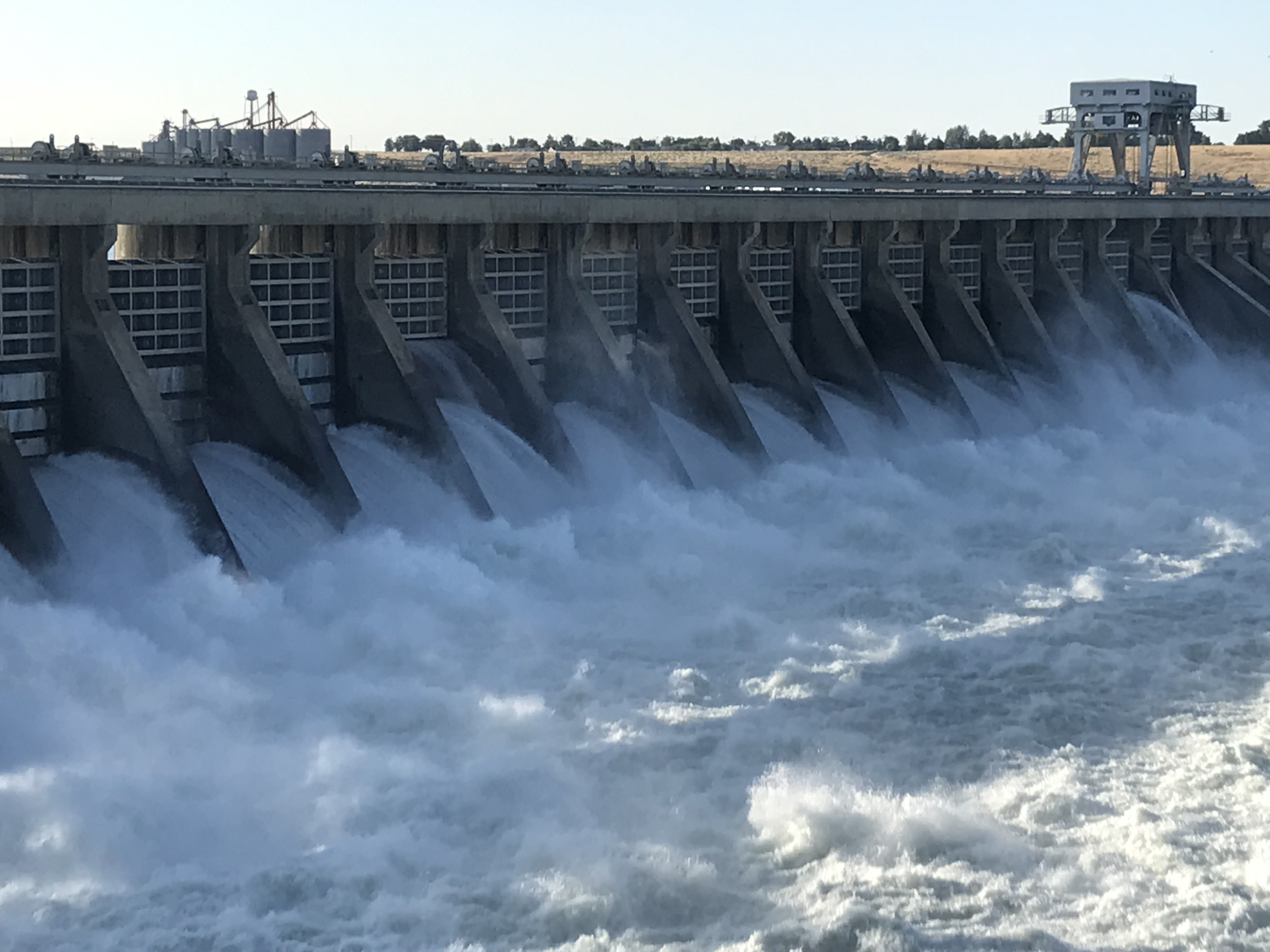
Well, maybe over there. Hard to determine along the Snake and Columbia Rivers because the rivers are not the same today as they were over 200 years ago. Islands are gone, rapids are gone, the shore eroded, or worse yet, as much as 100 feet higher where dams create lakes that spread water higher and further inland. Then there are the railroad tracks hugging the shore and, at least on the south side of the Columbia, a four-lane highway.
***
Historically, President Thomas Jefferson’s directed Lewis and Clark to find the most direct and practicable water communication across this continent, for the purposes of commerce, the importance on declaring US sovereignty over the land occupied by the many different Indian tribes along the Missouri River, and getting an accurate sense of the resources in the recently completed Louisiana Purchase.
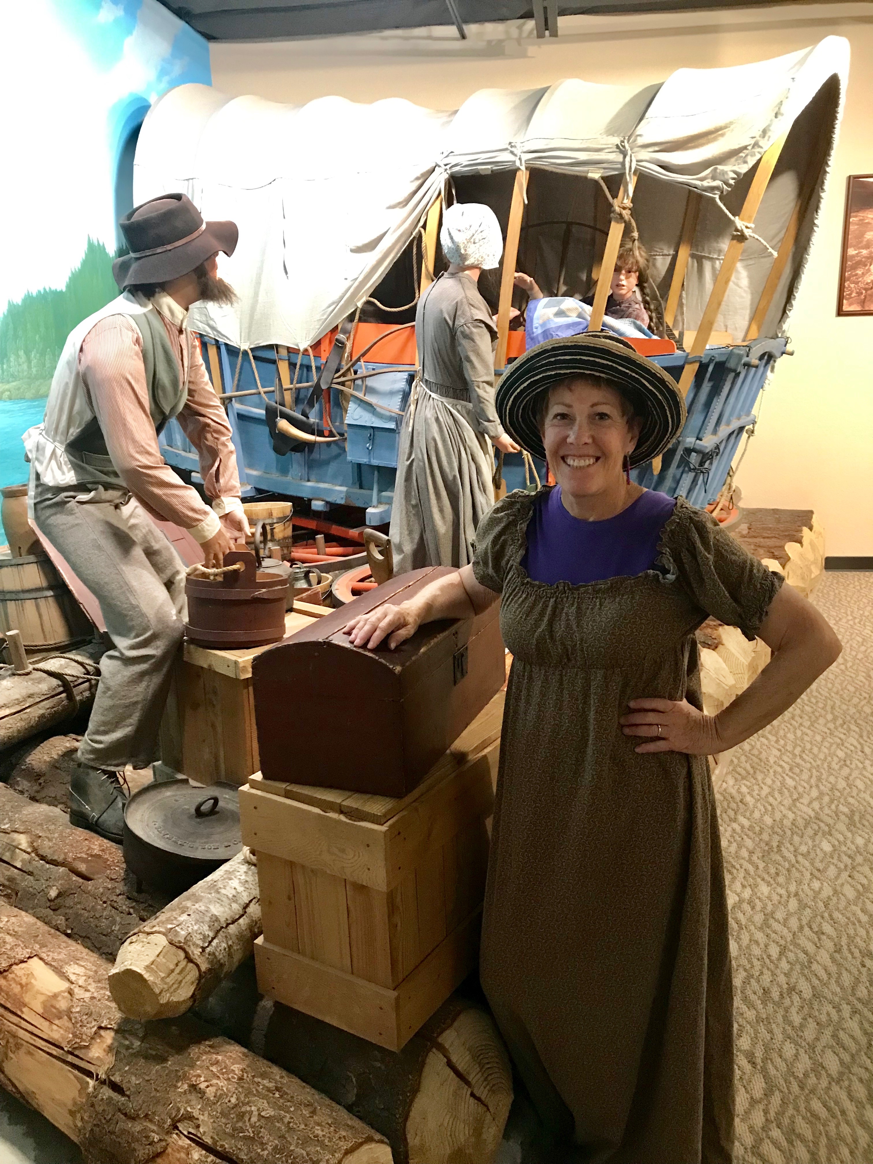
From May, 1804 to September, 1806 the Corps of Discovery Expedition was successful in achieving these goals with maps, sketches, journals and specimens of what was to become the Northwest of the United States. They started in St. Louis, Missouri and trekked across the continental divide and engaged in many adventures on the way to the Pacific Ocean at the mouth of the Columbia River. The river now establishes the border between Oregon and Washington State.
Captain Meriweather Lewis carefully recorded and mapped their journey with amazing detail and accuracy for the time. Amazing for us to fathom: 30 plus men, 20 plus tons of food, tools, armament, trinkets, and all sorts of material, boating and walking and horseback riding over 4000 miles. Six months on the way they meet Toussaint Charbonneau, a French-Canadian fur trapper and his Shoshone wife, Sacagawea. Continuing on with the expedition, Sacagawea became their translator. The Corps arrives back at St. Louis, ending their journey after two years, four months and ten days.
***
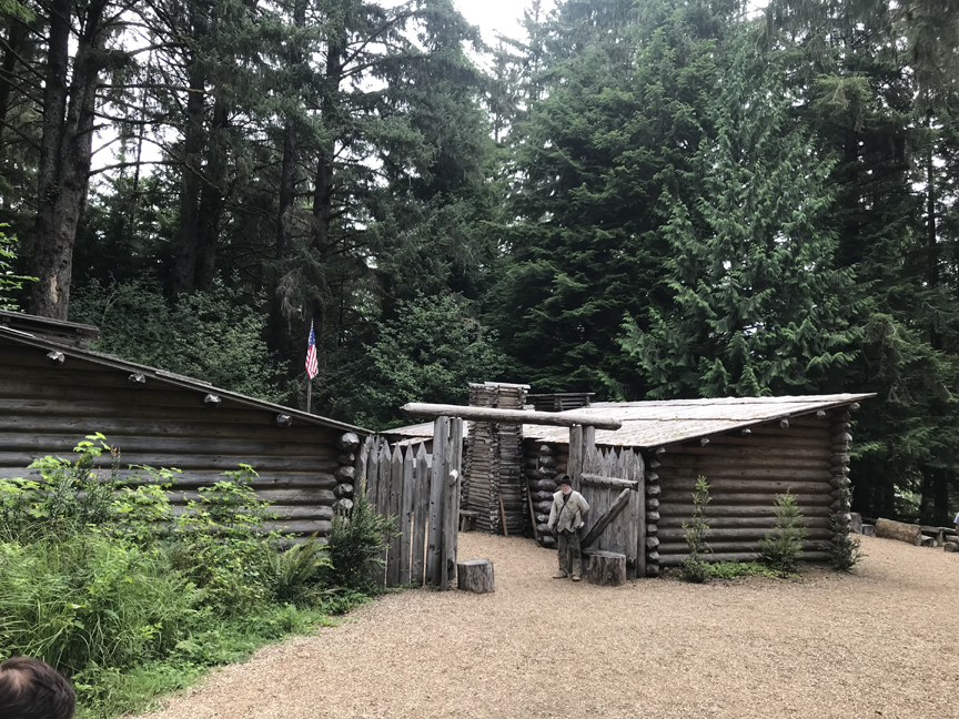
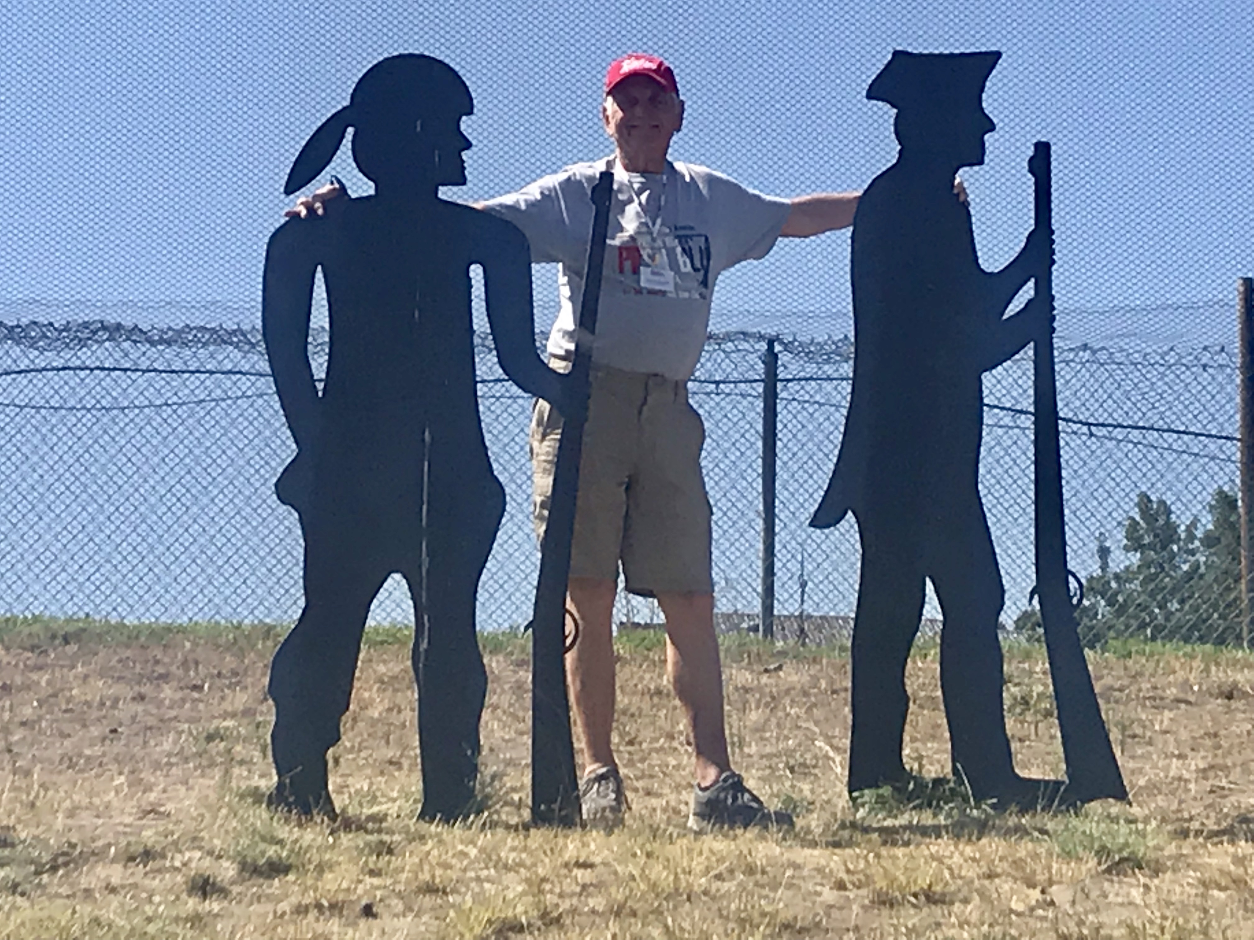
We tried to envision their adventure as we visited Fort Clatsop on the Pacific coast near the current city of Astoria, OR and in several museums and interpretive centers as we sailed up the Columbia River and Snake River to our final port at Clarkston OR. Our last day we visited the interpretive center on the Nez Perce Indian Reservation. The Corps was saved from starvation by the Nez Perce. Today the reservation is only a fraction of the land once roamed and considered home.
To follow the Corps further backwards to St. Louis is saved for another day.
According to the Natives along the river, their language determines their culture—their vary being— and salmon are the center of their lives. Where 200 million salmon spawned in the river then, today maybe 20 million make it to their spawning grounds swimming up through fish ladders past the dams.
We return to the chaos of home with a somber impression that somehow 200 years ago may have been the “good old days.” Native Indians lived with their own adventures and misadventures but we walked away (actually flew home out of Spokane, WA) with a consciousness that there was a synergism between the universe, the earth, its creatures and man all blessed by the Creator. Somehow as immigration and growth exploded in this prosperous area more may have been destroyed than gained.